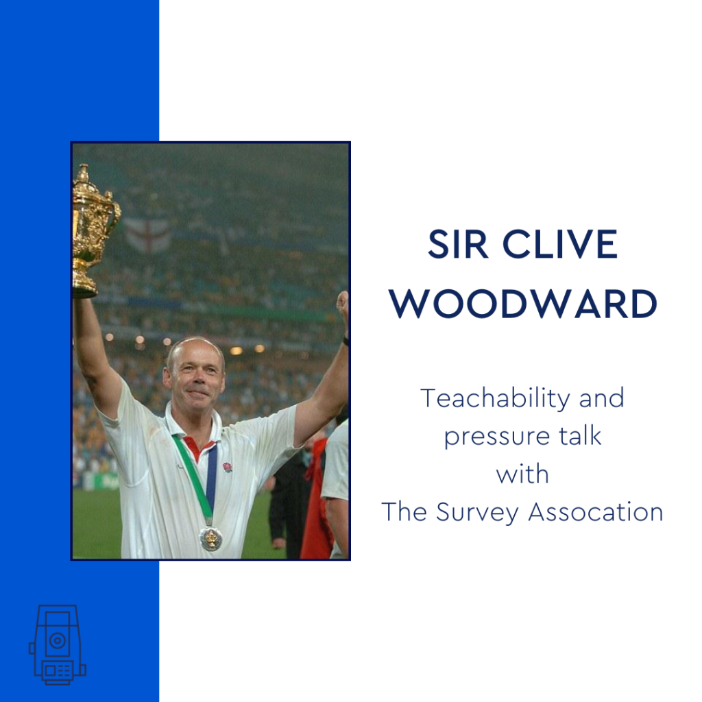
Site preparation for construction can change the terrain and features of the ground again and it is vital that all contractors have up-to-date topographical measurements before breaking ground in the construction of new buildings. An accurate topographic survey brings certainty to planned developments, by reducing the risk of errors and by giving an accurate plan …
Category: News
What is a deformation and movement monitoring survey?
What is Deformation and Movement Monitoring? Deformation and movement monitoring (also referred to as a deformation survey) is a technique used to monitor the deformation of structures. Deformation and movement monitoring measures and tracks any alterations in the shape or dimensions of a building or retaining wall. It is used in civil engineering, construction, and …
Measured building survey of the Houses of Parliament
Bonfire Night is known for the celebrations of Guy Fawkes and the Gunpowder Treason plot Bonfire Night is known for the celebrations of Guy Fawkes and the Gunpowder Treason plot. The British public watches fireworks displays and gathers around bonfires, even cooking jacket potatoes in the flames. The intentions of Bonfire Night have changed since …
3 Dangers of conducting topographical surveys in scrub
What is ‘scrub’? Scrub vegetation includes a range of forms from scattered bushes and trees to more dense thickets. It can be found in places where the ground has been disturbed near paths, on spoil heaps or where the ground has been cleared for development. Scrub is common in arid (areas of land with little …
Modern Slavery in the Construction Industry
What is modern slavery? Modern slavery is the exploitation of people for labour or services using force, fraud, or coercion. It includes human trafficking, bonded labour, forced labour, and child labour. The UK government is committed to eradicating modern slavery from our society and has published an action plan setting out how it will do …
Unknown Terrain – getting a Topographic survey and underground utility detection survey
By assisting in the visualisation, measurement, and quantification of these sites, Powers can help reduce the unknown obstacles and their associated risks to your company before you make a full financial commitment, by providing you with a topographic survey or underground utility detection survey (utility mapping). Tell us what your needs are and our survey …
GPS, GPR and what is GPRS?!
Let’s start with the basics: what is GPS? GPS stands for Global Positioning System, a precise global navigation and surveying system that relies on signals from several orbiting satellites. GPS is commonly used when navigating using your phone or Satnav. The surveying profession was one of the first commercial adaptions of GPS, after being used …
Advantages of Underground Utility Mapping
Powers underground utility detection survey At Powers, we offer PAS 128 standard underground utility detection survey to Level B standard. This provides our clients with accurate information concerning underground cables, pipes, and services. What are the advantages of underground utility mapping? You and your crew will avoid putting construction workers at risk of clashing with …
Suicide in the UK construction and surveying profession
Why are suicide rates in the UK higher amongst men? ‘Man Up!’ is a phrase that is frequently used in everyday conversations, although it is harmful. Men are told that they must be tough or else they would display weakness. Men are under additional pressure to suppress their feelings or to refrain from sharing them …
Drone surveying and mapping
What is a drone survey? Drone surveying is the process of acquiring data from an aerial viewpoint. Combining images or a LiDAR scan produces a high-resolution image. These images each carry a set of 3D coordinates, which enables further processing to assemble them into a sketch with accurate measurements. The practice of autonomous drone mapping …