Also known as ‘As Constructed’ surveys, this type of survey is usually produced at the end of a construction phase or when construction is complete. They are a definitive record of where buildings and other permanent features such as roads, pavements, walls and other aspects have been built. However, they can also be carried out …
Category: News
CCTV drainage surveys – exploring and assessing beneath the surface
CCTV drainage surveys: an underground overview Usually, a CCTV drainage survey is done by sending a portable, navigable camera along the drain network. When CCTV surveys are requested, there’s usually an inkling of a problem. In most cases, the drain will be blocked or there will be some reason why the camera can’t get down …
Survey specification – right from the start
Levels of detail At Powers, we have over 50 years of experience of working on all kinds of projects. Not just construction projects, but also engineering, scientific and environmental. When you are in the early stages of a project, our skilled team at Powers can work with you to ensure that we are surveying exactly …
Why is it a good idea to get my measured building survey or underground services detection done at the same time as the topographic survey?
The level of detail a topo provides can help with the understanding – and create the visual representation – of the site. It will also establish what enabling work needs to be carried out before the start of construction, such as the scale of the earthworks required. However, despite this high level of detail, it …
What is a complex topographical survey?
Backbone of the project Topographical surveys are the backbone of reliable construction project planning and design. Measured data gathered during a geospatial survey can be used in a number of ways and drawings are an important part of the design and construction process. Surveyors should be engaged to undertake ‘topo’ surveys, as they are informally …
Innovation: Digital twins and measured building surveys
The here and now A full measured building survey is used to create a digital twin. This is done by plotting the dimensions and scope of a building or structure as they stand. Measured building surveys of existing buildings are required by developers, planners, architects and local authorities, who want to document what currently exists. …
Measured building surveys – back to the drawing board
Time and place Measured building surveys are carried out using 3D laser scanners. The geospatial data gathered from the resulting point clouds is used to create digital 3D models or digital twins, elevations, floor plans and sections. This provides a snapshot of time and place in a structure’s lifecycle. They are an essential part of …
Made to measure – what is a measured building survey?
Captured for posterity Measured building surveys of existing buildings are required by developers, planners and architects, who want to document what currently exists structurally. These plans illustrate all the structural elements and architectural features of a building. This will include external elevations of the building, i.e. how the building appears from the frontage and from …
Making a career within the geospatial profession
Sadly, women are still woefully under-represented in the geospatial arena. According to recent Royal Institute of Chartered Surveyors (RICS) data (February 2022), women represent only 18% of RICS’ 139,000 international professionals across 23 pathways, and the latest figures from Chartered Institute of Civil Engineering Surveyors (CICES) suggests that women make up 15% of its membership, …
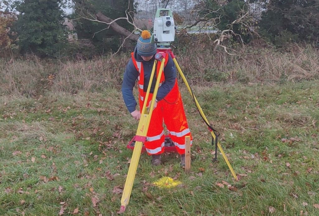
Back to basics: How to choose your setting out partner
Choose someone who has the time to do the job when you need it done. This may sound obvious, but you don’t want to be engaging someone to carry out a contract, only to find that they make a rush job of it, or haven’t sufficient time, enthusiasm or inclination to provide a professional …