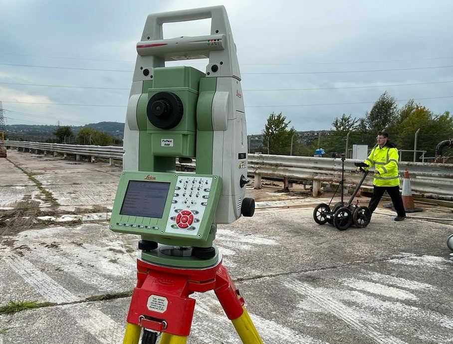
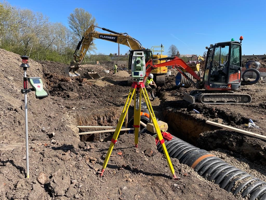
The level of detail a topo provides can help with the understanding – and create the visual representation – of the site. It will also establish what enabling work needs to be carried out before the start of construction, such as the scale of the earthworks required. However, despite this high level of detail, it …
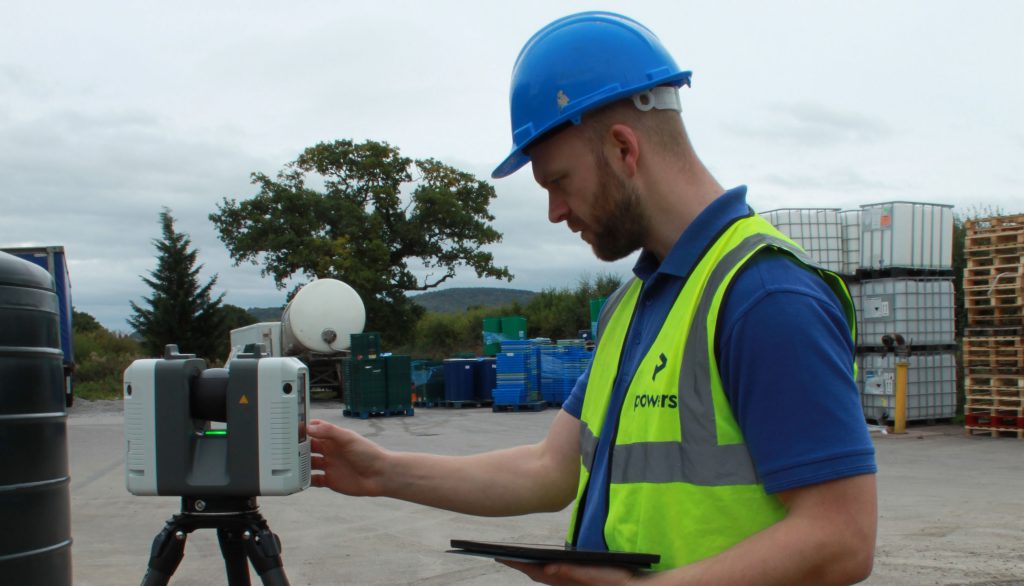
Why is it a good idea to get my measured building survey or underground services detection done at the same time as the topographic survey?