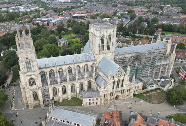
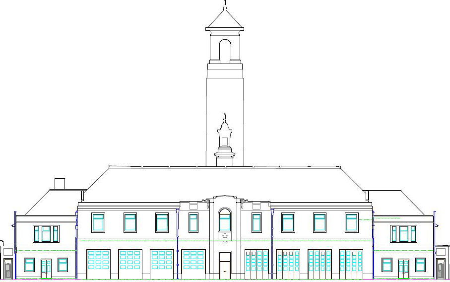
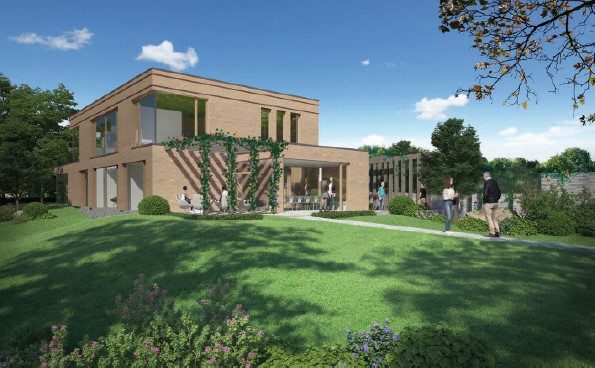
What is AR? AR is an interactive experience for the user. They can see objects around them in their real-life environment. It traditionally uses visual and auditory cues to enhance the user’s experience. Technology like this is readily available on apps people use daily. Apps such as Snapchat use AR to create interactive filters to …
Category: Uncategorized
Powers provides ‘spooktacular’ service for local cemetery
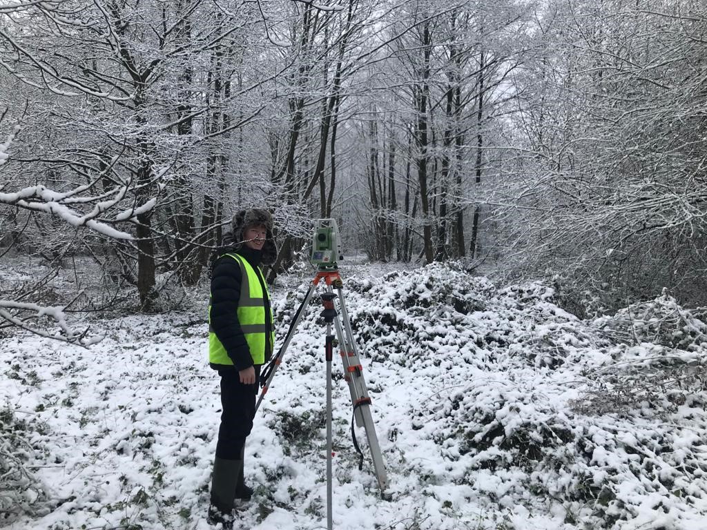
In March 2018, Powers was commissioned to design and project manage the extension of a rural cemetery in Nantwich, Cheshire. The project involved the conversion of former agricultural land, opposite an existing cemetery. This was to form an extended cemetery, with a new parking area. We provided a topographic survey, mapping the layout of the …
With a skills shortage in the construction business, what will the future hold for the industry?
The state of the industry Amongst some of the jobs in the industry, surveying and geospatial data capture are amongst the areas which have been affected. This is due to both areas not being highlighted enough to those at school-leaver age, or some institutions not suggesting surveying as a suitable job. However, neither job have been put on the Shortage Occupation List (SOL) …
Are 20-minute neighbourhoods a realistic vision of the future for us all?
Across the globe there is growing interest in creating places where people’s day to day needs can be met within a distance short enough to walk or cycle. If people become more physically active, their mental and physical health improves. Traffic decreases and the quality of the air we all breathe gets better. Local services …
Geospatial Commission: What it is and who are the partners involved?
Spatial awareness Established in 2018, the Geospatial Commission is responsible for setting the UK’s geospatial strategy and also coordinating public sector geospatial activity. The aim of this data collation is to reveal significant economic, social and environmental opportunities offered by location data and to boost the UK’s global geospatial standing and expertise. The Commission’s aim …
The rise of modular construction
Since the dawn of time, humankind has looked to build. From Stonehenge to the Great Pyramids at Giza, to the Eiffel Tower and The Shard, every design has been progressively pushing the boundaries of what was possible. Today, modular construction is taking building design one step further into the future. Utilising individual components or ‘modules’ …
Topographical surveys – making sense of your site
Topos or OS mapping? Ordnance Survey provides excellent maps, but these do not show the type of detail necessary for building work. They are simply not accurate enough when it comes to details of boundaries, for example, and they can also become outdated. Topos are used to show the features of the land being measured …
Going Underground – why use an underground utility survey
Levels of data Prior to PAS128, there was no standard in the UK for the way in which a utility survey should be performed. This meant that the service provided from one surveyor to another could vary considerably within the definition of a utility survey. PAS (Publicly Available Specification) 128 was formulated after industry consultation …
Working from home? The future of office buildings
So, we ask the question: are the days of the big, spacious, costly office numbered – if not in some cases, already past? Flexibility generates efficiency For many people, the flexibility that working from home provides has always been an ideal. Even before the pandemic and subsequent lockdowns, some businesses were already enabling staff in …
Here to stay – the rising popularity of city hotels
With some travel restrictions abroad still in place, more people are recognising the attractions of their own country, and UK hotels are once again enticing guests to stay. From past to present, we take a look at how city hotels became – and remain – so popular: History in the making Places for people to …