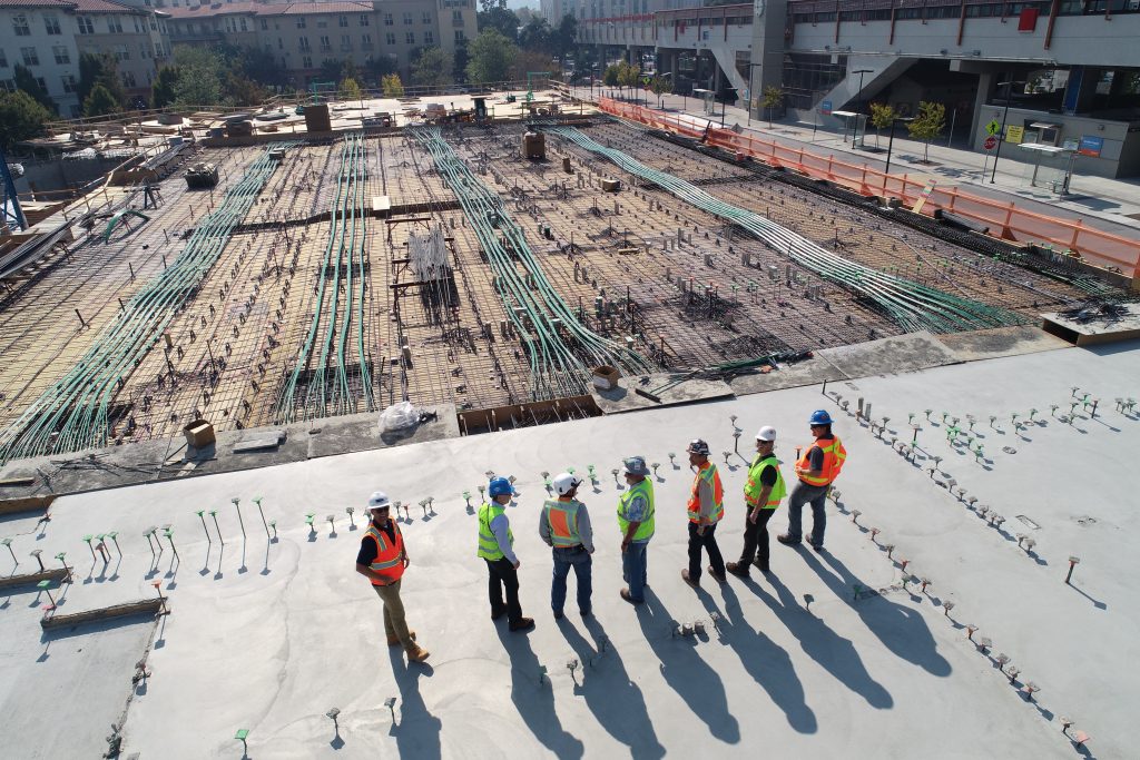
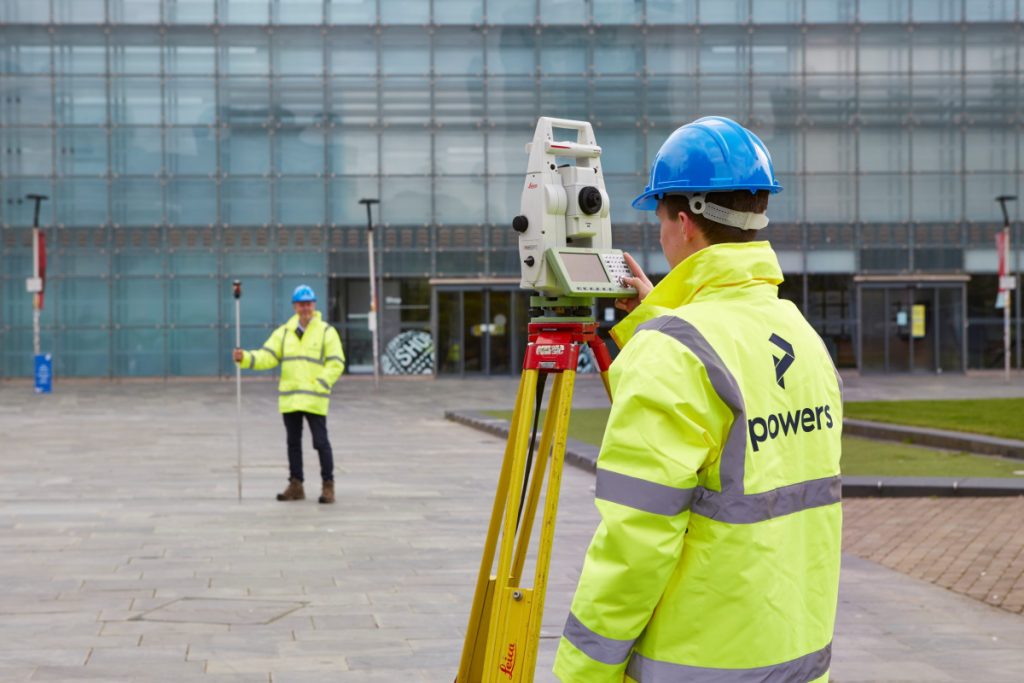
We’re looking for: Land Surveyor Put your skills to the test and come and carry out all types of topographic survey as well as measured building surveys or underground utility detection if you have the experience. For more information click here. Trainee Land and Engineer Surveyor Apprentice Start your career with Powers who have been …
Powers are hiring – we are looking to add to our growing team with various roles