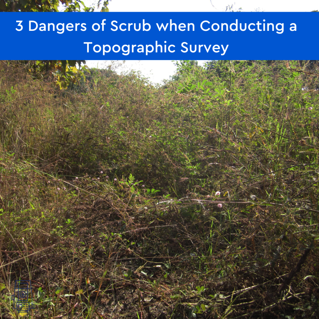
What is ‘scrub’? Scrub vegetation includes a range of forms from scattered bushes and trees to more dense thickets. It can be found in places where the ground has been disturbed near paths, on spoil heaps or where the ground has been cleared for development. Scrub is common in arid (areas of land with little …
Category: Uncategorized
Modern Slavery in the Construction Industry
What is modern slavery? Modern slavery is the exploitation of people for labour or services using force, fraud, or coercion. It includes human trafficking, bonded labour, forced labour, and child labour. The UK government is committed to eradicating modern slavery from our society and has published an action plan setting out how it will do …
Unknown Terrain – getting a Topographic survey and underground utility detection survey
By assisting in the visualisation, measurement, and quantification of these sites, Powers can help reduce the unknown obstacles and their associated risks to your company before you make a full financial commitment, by providing you with a topographic survey or underground utility detection survey (utility mapping). Tell us what your needs are and our survey …
GPS, GPR and what is GPRS?!
Let’s start with the basics: what is GPS? GPS stands for Global Positioning System, a precise global navigation and surveying system that relies on signals from several orbiting satellites. GPS is commonly used when navigating using your phone or Satnav. The surveying profession was one of the first commercial adaptions of GPS, after being used …
Advantages of Underground Utility Mapping
Powers underground utility detection survey At Powers, we offer PAS 128 standard underground utility detection survey to Level B standard. This provides our clients with accurate information concerning underground cables, pipes, and services. What are the advantages of underground utility mapping? You and your crew will avoid putting construction workers at risk of clashing with …
Suicide in the UK construction and surveying profession
Why are suicide rates in the UK higher amongst men? ‘Man Up!’ is a phrase that is frequently used in everyday conversations, although it is harmful. Men are told that they must be tough or else they would display weakness. Men are under additional pressure to suppress their feelings or to refrain from sharing them …
Drone surveying and mapping
What is a drone survey? Drone surveying is the process of acquiring data from an aerial viewpoint. Combining images or a LiDAR scan produces a high-resolution image. These images each carry a set of 3D coordinates, which enables further processing to assemble them into a sketch with accurate measurements. The practice of autonomous drone mapping …
What is an as-built survey?
What is an as-built survey? An as-built survey is usually produced at the end of a project. They’re used to illustrate where buildings, pavements, roads, and other features have been built. However, they can be carried out after different phases of construction have been completed, providing a point in time for owners to reference. What …
Why we need to use reusable and recyclable building materials
What building materials can be recycled? There are several types of building materials that can be recycled: Gypsum (plasterboard) can create pellets and powder Metal can become furnishings, fixtures, and lighting Brick, concrete, and blocks will be turned into rubble Wood can be used for pathways, mulches, compost, animal bedding and particleboard Glass will become …
Why your project will benefit from external elevations
What’s an external elevation? External elevations are as-built drawings that show the exterior facades of a building. These are done from ground level to the top of a structure. The elevation drawings are made from a 3D point cloud which is converted into a 2D image, that shows no perspective. What is shown on an …