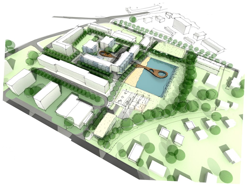
What is urban regeneration? Urban regeneration is the transformation of a town or city. It’s an approach to city planning to repair social and economic problems, like improving the physical and environmental aspects of a town or city for its citizens. Why is urban regeneration so important? As the UK becomes more sustainable, transforming towns …
Category: Uncategorized
What is an internal elevation drawing? Why do I need one?
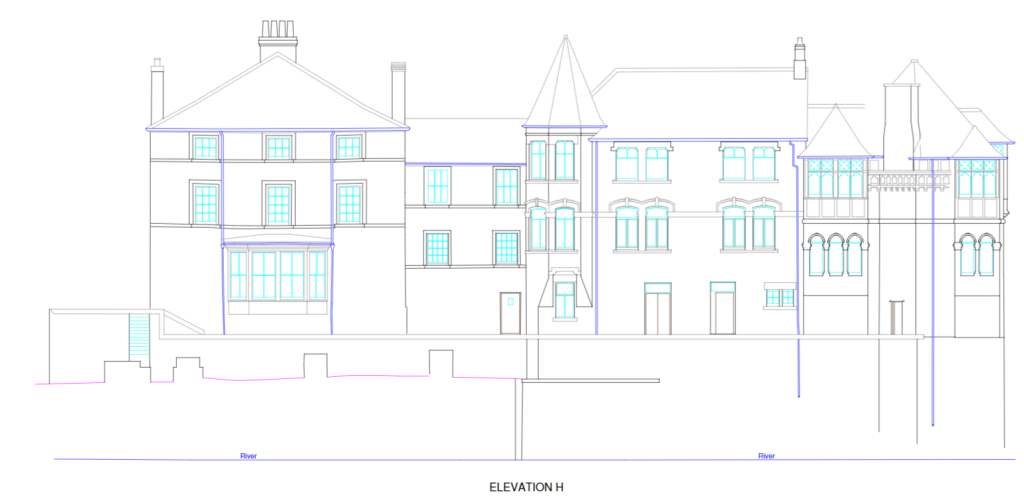
What is an internal elevation drawing? Elevation is a term used in the architectural and surveying world, to describe the orthographic (a 3D view done in 2D) projection of a room. The internal elevation shows the room’s details from a specific direction, requested by clients. These are drawn up in 2D images, which go from …
Neurodiversity Week 2022
What is neurodiversity? Neurodiversity is an umbrella term that has been around since the 1990s, first used by Judy Singer, a sociologist with autism. It’s a viewpoint that the brain works differently from those who are deemed normal (neurotypical). People who are neurodiverse experience, interact and interpret everything around them differently. 30%-40% of people in …
Norman Foster Iconic British Architect
Who is Norman Foster? A renowned British architect, born in a North West working-class town, Stockport. Norman Foster designs buildings that are influenced by his passion for motorsports, his love of steel and glass, and his time serving in the RAF. Foster’s childhood Norman Foster was born in 1935, in Stockport, near Manchester. He lived …
What is a Smart City?
What is a smart city? A smart city is a framework, which predominantly is composed of Information and Communications Technology (ICT). ICT is used to develop and encourage sustainable practices to address the growing urbanisation of a city. The aim of a smart city is to optimise the city’s functions through data analysis and the …
What is a digital twin?
What is a digital twin? A digital twin is a virtual, digital model, designed to accurately reflect a physical object. Using sensors that are placed onto a physical object, such as a building. The data is then engineered into a digital representation. These sensors produce a lot of data on different aspects of the object’s …
Apprenticeship Week 2022 – Meet Liam
Name and current year Liam, 1st year Where are you studying? Cronton College, Widnes Why did you choose an apprenticeship, instead of a day release course or learning on the job? I feel it is more suited to my style of learning. I don’t like being stuck in a classroom all day. How are you …
Apprenticeship Week 2022: meet Joe
Name and current year Joe, 1st year Where are you studying? I am studying at Dudley College Why did you choose an apprenticeship, instead of a day release course or learning on the job? I didn’t want to go to university, that route of studying wasn’t my ideal plan. How are you finding the mix …
How to Become a Land Surveyor
What does a geospatial surveyor do? A geospatial surveyor is a professional who uses mapping and surveying techniques to gather data about the Earth’s surface. This data is used to create maps, diagrams, and 3D digital models that can be used to help plan infrastructure, design buildings, and measure environmental changes. Geospatial surveyors must have …
Apprenticeship Week 2022: meet Liam
Name and current year Liam, 1st year Where are you studying? Cronton College, Widnes Why did you choose an apprenticeship, instead of a day release course or learning on the job? It had the mix of being in a working environment and getting first-hand experience of practising new skills. It also allows me to further …