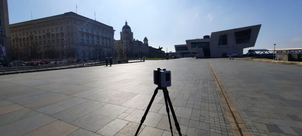
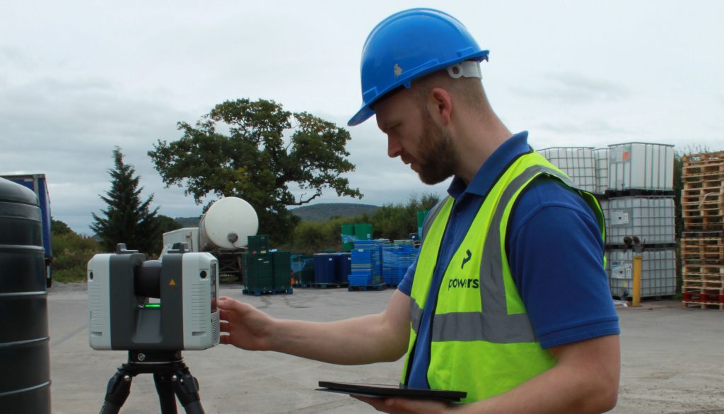
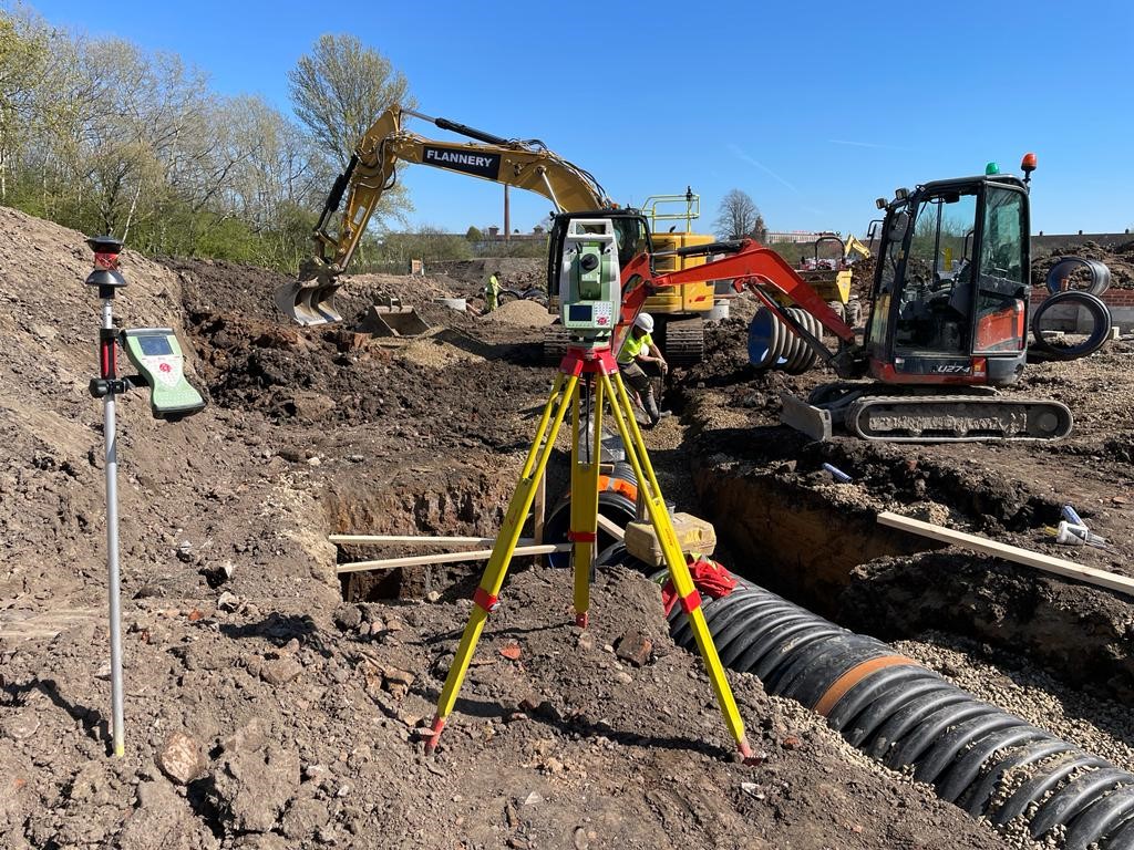
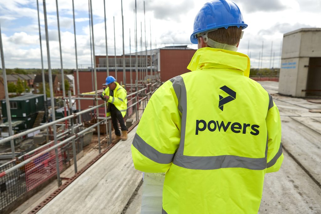
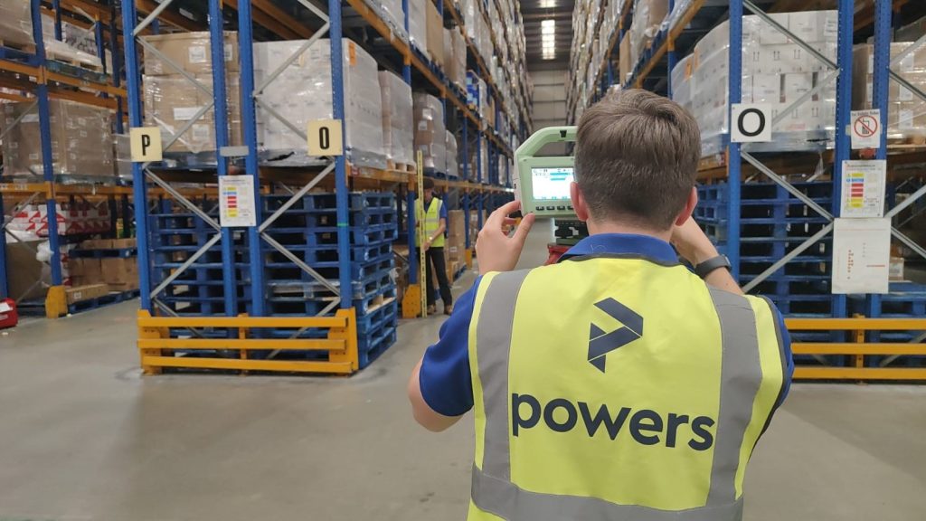
Taking the initiative The Get It Right Initiative is a group of UK construction industry experts, organisations and businesses. They are working to actively improve productivity, quality, sustainability and safety in the construction sector, by striving to eliminate error. Its research is summarised in the initiative’s ‘Strategy for Change’ report, which sets out how it …
Category: Uncategorized
Powers’ 12 posts of Christmas – a look back at 2023
January At Powers, we are committed to looking at ways in which we can reduce our carbon emissions in the ongoing journey towards net zero. To this end, we reviewed our carbon emissions in January and updated our environmental targets for 2023 https://tinyurl.com/mvpznb3f. We were also pleased to see the launch of the Save Construction …
Powering on: 50 years of geospatial surveying
Early days “Eric Tiltman set up the original business known as EVE Tiltman. He was an engineering surveyor and my father, Mike Powers had worked with Eric on a few projects in the late 60s early 70s . Eric began to take on some larger projects and approached Mike to partner up with him. Mike and …
Understanding the first principles of surveying
What are the first principles of surveying? Accuracy and precision Geospatial and land surveying requires precise and accurate measurements to ensure reliable results. Surveyors must adhere to strict standards and use appropriate instruments and techniques to achieve accurate measurements. However, this on its own is not enough. While the equipment can provide accurate data, it …
Powers director updates profession on geospatial apprenticeships
Trailblazing Lucy is co-chair of the apprenticeship trailblazer group and is currently talking to technical colleges across the country to encourage them to adopt the apprenticeship, along with the mandated level three Diploma in Geospatial Surveying qualification. She explained why there was a need for it and the barriers to it currently being more widely …
A level playing field – specifications and certifications
Specification vs certification Specification means we’ll work to a client’s spec, which can be tailored accordingly, simplified or spec’d up. A specification working to a RICS Code of Measuring Practice (6th Edition) spec, for example, means that we will follow a certain specification for carrying out different types of surveys. Certification means we are audited …
Visualising future cityscapes – accurate measured viewpoints
Placed in context Urban development is always on the agenda and it’s important to be able to depict how the final results will appear when in situ, in respect to other buildings. We are very involved in this part of the urban development process. As part of our land and buildings surveying services, we offer …
The importance of collaboration
Geospatial surveyors are key collaborators with many different professions. They can be part of many processes and also can contribute to the form and shape of projects beyond their timelines. It’s important to ensure that land surveyors become involved at as early a stage as possible, so that clients can ensure they get the team …
Working to grid: What happens when contractors use different control grids?
The control grid – a single version of truth This single version of truth is generally a control grid. This is a network of horizontal and vertical lines superimposed over a map or building plan and used for locating points within a construction site. The control points are reference points with known coordinates and are …
Using space wisely – surveying, car parks and EV innovation
Points of contact One area, for instance, is the need for consideration being given to the ability to recharge vehicles, to facilitate long journeys and lengthy battery timespans. This has led to a great deal of investment in infrastructure projects that have allowed far greater use of these vehicles on a national scale. EVs are …