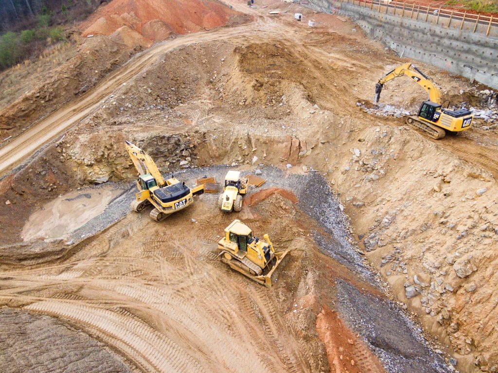
Modelling landscapes Ground modelling turns a topographical survey – with plotted levels and heights – into a 3D contoured or triangulated map. This provides a visual representation of the shape of the site measured. Before any work begins on site, an initial level survey of the area should be completed, in order to obtain accurate …
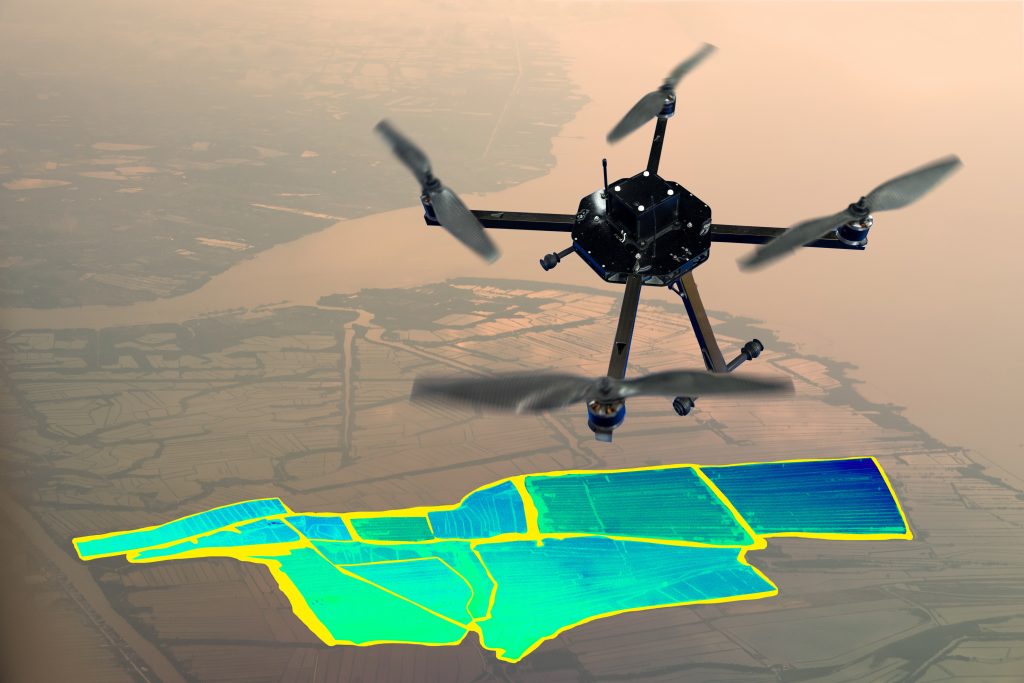
Exploring new dimensions – 3D ground modelling and volumetrics