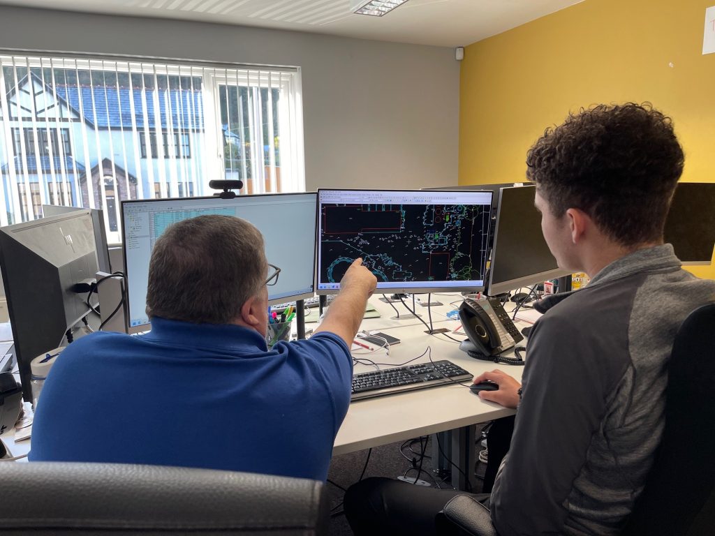
10 things architecture, construction, consultants and civil engineering companies need to know about Powers Geospatial Consultancy

Powers has a reputation for being a geospatial consultancy that delivers accurate, reliable and timely site data. The business achieves this by: 1. Rapid mobilisation with multiple teams across all land surveying specialisms Powers has a team of highly skilled and experienced geospatial surveyors, so the company can respond quickly to meet the client’s needs …

Read More

Outlining potential – Feasibility Studies

Viable options A site feasibility study is an easy way of looking at the potential for development of a site or existing building. Before any money is spent – even on drawings and designs – a study will map the site and what exists there, prior to any other work commencing. A feasibility study will …

Read More

10 Tips for Visiting Property and Construction Exhibitions

Don’t forget Get your steps tracker working so you can count your steps for the day and see just how far you travel. Download a copy of the exhibition layout before you go. This will help you plan your route and spend your time most effectively. On the exhibition list look at: Who you’ve worked …

Read More

As-built surveys – a timeless, permanent record

Also known as ‘As Constructed’ surveys, this type of survey is usually produced at the end of a construction phase or when construction is complete. They are a definitive record of where buildings and other permanent features such as roads, pavements, walls and other aspects have been built. However, they can also be carried out …

Read More

Setting out for construction – the importance of accurate measurements

Two surveyors in Powers hi-vis

Accuracy essential in setting out With any discipline that involves dimensions, a very high degree of accuracy is essential when setting out buildings or infrastructure projects. Digital equipment and data recording allows little margin for error. Our professional site engineers ensure that all setting out is carried out with precision and efficiency, using a combination …

Read More

Using space wisely – surveying, car parks and EV innovation

Points of contact One area, for instance, is the need for consideration being given to the ability to recharge vehicles, to facilitate long journeys and lengthy battery timespans. This has led to a great deal of investment in infrastructure projects that have allowed far greater use of these vehicles on a national scale. EVs are …

Read More

3D laser scanning: capturing millions of data points in moments

3D laser scanning

3D laser scanning can also be used for heritage surveys and conservation surveys, as well as volumetric surveys, where land/material mass can be calculated to create a desired outcome – for example, providing accurate areas of volumes for cut/fill balancing, or creating a mound or depression in the land to suit your design needs. What …

Read More

Legends and monsters: understanding the importance of maps

Charting through history: revolutionising the process and accuracy of mapmaking Mapmaking, or cartography, has been around ever since humans walked the Earth – and needed to record features and routes through local terrain. There’s no definitive answer as to who invented mapmaking, as prehistoric examples have been present in many cultures, from the earliest examples …

Read More

Working together: the benefits of survey companies gaining professional membership certification

So, how can we be sure that we are doing all we can to maintain the high standards we set ourselves? Our membership of various professional organisations and our professional accreditations are never just for show. It means that our employees and our clients can rest assured that we keep constant vigilance when it comes …

Read More

Everything starts with a measurement: the role of geospatial surveys in the built environment

Unless this is your profession or area of interest, there is a good chance you won’t have considered this. However, without well-educated and experienced surveyors, the consequences of inaccurate or no land surveys can be significant. Inaccurate measurements can lead to boundary disputes, costly errors, such as buildings being built in the wrong position or …

Read More