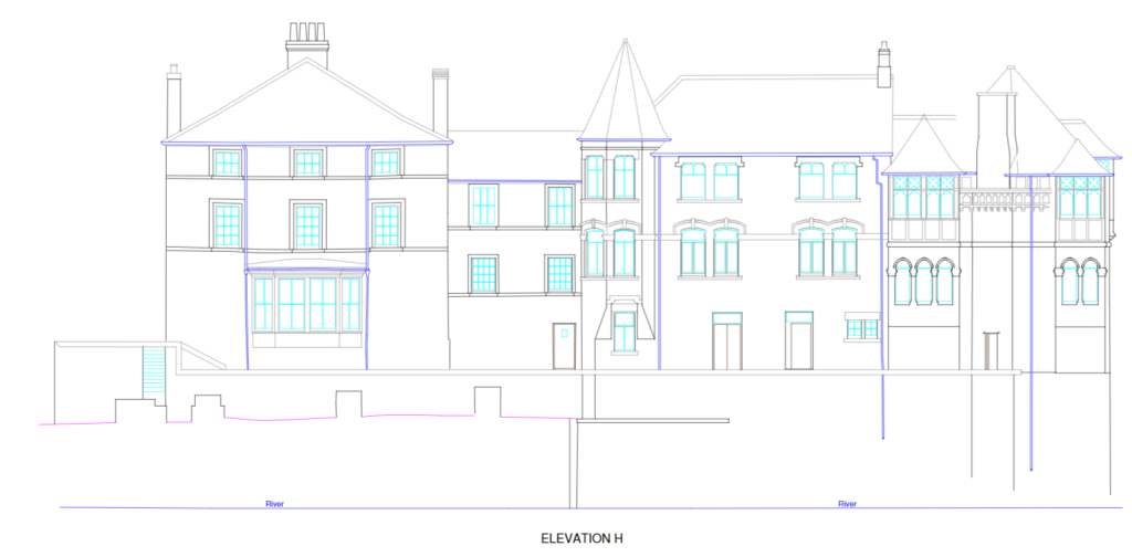
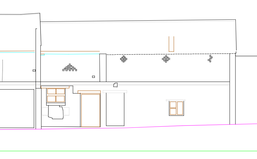
What’s an external elevation? External elevations are as-built drawings that show the exterior facades of a building. These are done from ground level to the top of a structure. The elevation drawings are made from a 3D point cloud which is converted into a 2D image, that shows no perspective. What is shown on an …
Why your project will benefit from external elevations