10 things architecture, construction, consultants and civil engineering companies need to know about Powers Geospatial Consultancy

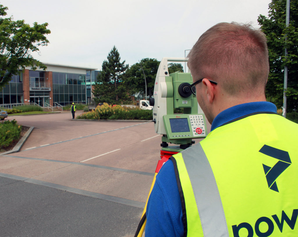
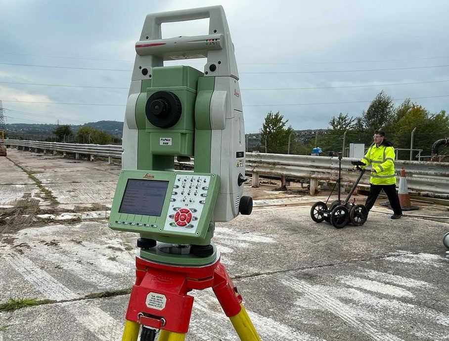
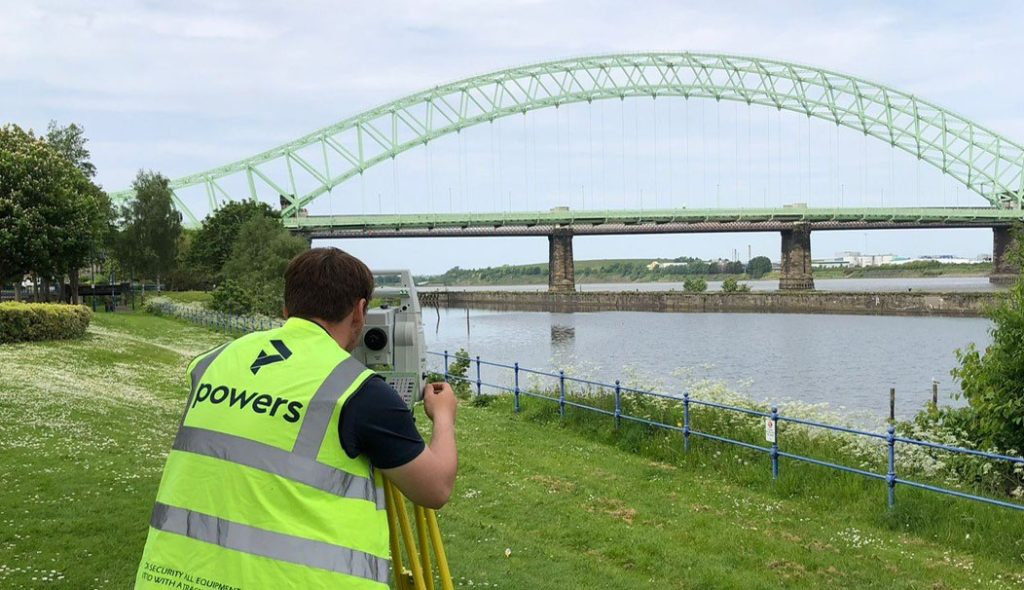
Powers has a reputation for being a geospatial consultancy that delivers accurate, reliable and timely site data. The business achieves this by: 1. Rapid mobilisation with multiple teams across all land surveying specialisms Powers has a team of highly skilled and experienced geospatial surveyors, so the company can respond quickly to meet the client’s needs …

Read More

Outlining potential – Feasibility Studies

Viable options A site feasibility study is an easy way of looking at the potential for development of a site or existing building. Before any money is spent – even on drawings and designs – a study will map the site and what exists there, prior to any other work commencing. A feasibility study will …

Read More

One version of the truth – Asset Registers

Built on reliable data Local authorities – or other big companies with a large roster of buildings – need them, so their asset information isn’t all over the place – it’s collated and located as a single entity. This is best practice and there are lots of benefits to understanding what’s detailed in them. Using …

Read More

Helping to build community spirit

Securing community assets As well as drinks and food, pubs serve so much more to a community. The fact that the Golden Lion has been closed for more than 10 years is such a shame for a village like Ashton Hayes. Initially, the empty building was taken on by someone that simply wanted to get …

Read More

A working challenge: Surveying industrial landscapes

Industrial areas can include a multitude of different types of structure and building – from warehouses and storage facilities, to manufacturing plants or buildings housing industrial processes, such as oil refining or brewing for instance. These sites offer some real challenges that are unique for surveyors and have to be approached in a different way …

Read More

Why is it a good idea to get my measured building survey or underground services detection done at the same time as the topographic survey?

The level of detail a topo provides can help with the understanding – and create the visual representation – of the site. It will also establish what enabling work needs to be carried out before the start of construction, such as the scale of the earthworks required. However, despite this high level of detail, it …

Read More

What is a complex topographical survey?

Backbone of the project Topographical surveys are the backbone of reliable construction project planning and design. Measured data gathered during a geospatial survey can be used in a number of ways and drawings are an important part of the design and construction process. Surveyors should be engaged to undertake ‘topo’ surveys, as they are informally …

Read More

Legends and monsters: understanding the importance of maps

Charting through history: revolutionising the process and accuracy of mapmaking Mapmaking, or cartography, has been around ever since humans walked the Earth – and needed to record features and routes through local terrain. There’s no definitive answer as to who invented mapmaking, as prehistoric examples have been present in many cultures, from the earliest examples …

Read More

Working together: the benefits of survey companies gaining professional membership certification

So, how can we be sure that we are doing all we can to maintain the high standards we set ourselves? Our membership of various professional organisations and our professional accreditations are never just for show. It means that our employees and our clients can rest assured that we keep constant vigilance when it comes …

Read More

The future of surveying

According to Caitlin Ballard, international policy adviser at the Geospatial Commission: “Location is a thread that allows us to connect different datasets together to make them more useful. Geospatial technology is going to be increasingly embedded in our digital lives. Some commentators have recently coined the phrase ‘geoverse’ to articulate the critical role location data …

Read More