Movement monitoring: historic buildings and preserving history

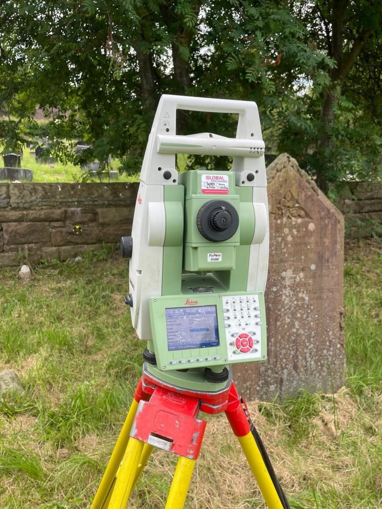
An ideal solution Monitoring, also known as a deformation survey, is among one of the many services we offer our clients. Deformation surveys can be used to monitor any kind or size of structure. This includes historic buildings tunnels, bridges, embankments and retaining walls. They are particularly useful in monitoring walls that are leaning or …

Read More

A working challenge: Surveying industrial landscapes

Industrial areas can include a multitude of different types of structure and building – from warehouses and storage facilities, to manufacturing plants or buildings housing industrial processes, such as oil refining or brewing for instance. These sites offer some real challenges that are unique for surveyors and have to be approached in a different way …

Read More

Powering on: 50 years of geospatial surveying

Early days “Eric Tiltman set up the original business known as EVE Tiltman. He was an engineering surveyor and my father, Mike Powers had worked with Eric on a few projects in the late 60s early 70s . Eric began to take on some larger projects and approached Mike to partner up with him. Mike and …

Read More

Using space wisely – surveying, car parks and EV innovation

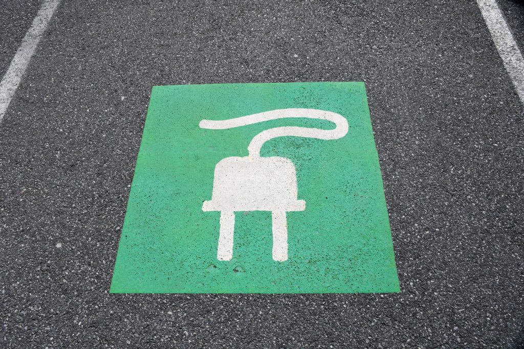
Points of contact One area, for instance, is the need for consideration being given to the ability to recharge vehicles, to facilitate long journeys and lengthy battery timespans. This has led to a great deal of investment in infrastructure projects that have allowed far greater use of these vehicles on a national scale. EVs are …

Read More

UK Geospatial Strategy 2030

The Geospatial Commission was established in 2018 by the government as an expert committee responsible for setting the UK’s geospatial strategy and coordinating public sector geospatial activity. It is part of the Department for Science, Innovation and Technology, playing a crucial role to deliver improved public services, create new better-paid jobs and grow the economy. …

Read More

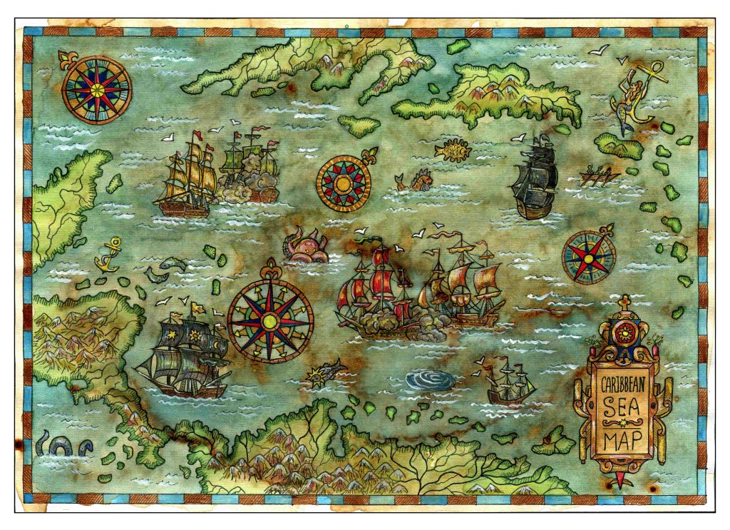
Legends and monsters: understanding the importance of maps

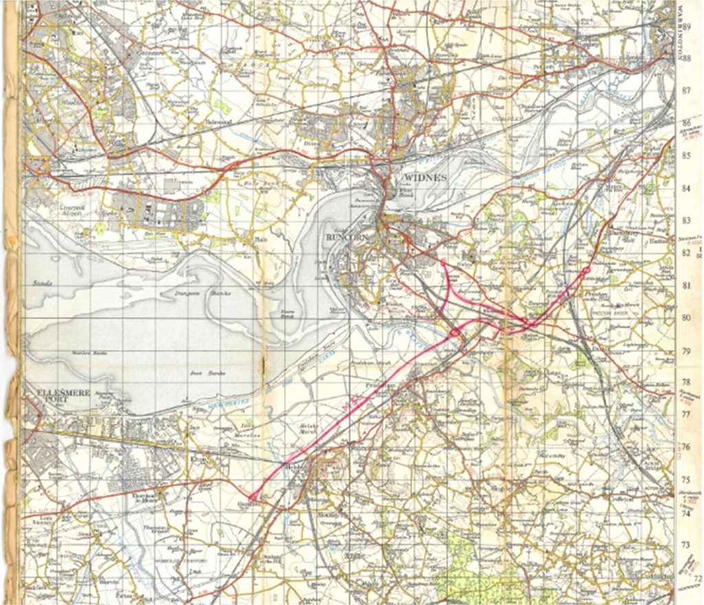
Charting through history: revolutionising the process and accuracy of mapmaking Mapmaking, or cartography, has been around ever since humans walked the Earth – and needed to record features and routes through local terrain. There’s no definitive answer as to who invented mapmaking, as prehistoric examples have been present in many cultures, from the earliest examples …

Read More

Working together: the benefits of survey companies gaining professional membership certification

So, how can we be sure that we are doing all we can to maintain the high standards we set ourselves? Our membership of various professional organisations and our professional accreditations are never just for show. It means that our employees and our clients can rest assured that we keep constant vigilance when it comes …

Read More

Everything starts with a measurement: the role of geospatial surveys in the built environment

Unless this is your profession or area of interest, there is a good chance you won’t have considered this. However, without well-educated and experienced surveyors, the consequences of inaccurate or no land surveys can be significant. Inaccurate measurements can lead to boundary disputes, costly errors, such as buildings being built in the wrong position or …

Read More

Measuring the difference: looking at the difference between quality and price

Budgeting for projects Similarly, when it comes to creating budgets for civil and construction projects, you will be looking for cost effective and value for money solutions, not just the cheapest possible option. You need to be sure that your supplier is not cutting corners, as this is likely to lead to costly delays, or …

Read More