Working to grid: What happens when contractors use different control grids?

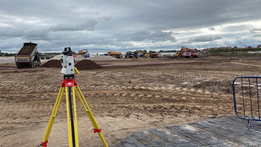
The control grid – a single version of truth This single version of truth is generally a control grid. This is a network of horizontal and vertical lines superimposed over a map or building plan and used for locating points within a construction site. The control points are reference points with known coordinates and are …

Read More

Using space wisely – surveying, car parks and EV innovation

Points of contact One area, for instance, is the need for consideration being given to the ability to recharge vehicles, to facilitate long journeys and lengthy battery timespans. This has led to a great deal of investment in infrastructure projects that have allowed far greater use of these vehicles on a national scale. EVs are …

Read More

Benefits of an as-built survey

The finished article One of the aspects of our work that comes at the end of the construction project is an as-built survey. Also known as ‘as constructed’. This type of survey is usually produced when construction has been completed. They are used to illustrate where buildings, pavements, roads and other features have been built. …

Read More

The importance of innovation in surveying

The price of progress Surveying has evolved over centuries, but the basics of trigonometry, levels and points have remained constants in some form or another. They have been honed and developed, but the end results – such as the creation of new structures, the collection of data and the generation of topographical or underground surveys …

Read More

Inside out – interior surveying tasks

Interior designs When it comes to a new-build construction, a surveyor will be involved in every stage of the process. Having been on site from the planning stage, a surveyor may have carried out an initial topographical survey or underground utilities detection. This would have established the extent to which the site can be developed …

Read More

3D laser scanning: capturing millions of data points in moments

3D laser scanning

3D laser scanning can also be used for heritage surveys and conservation surveys, as well as volumetric surveys, where land/material mass can be calculated to create a desired outcome – for example, providing accurate areas of volumes for cut/fill balancing, or creating a mound or depression in the land to suit your design needs. What …

Read More

UK Geospatial Strategy 2030

The Geospatial Commission was established in 2018 by the government as an expert committee responsible for setting the UK’s geospatial strategy and coordinating public sector geospatial activity. It is part of the Department for Science, Innovation and Technology, playing a crucial role to deliver improved public services, create new better-paid jobs and grow the economy. …

Read More